Health and Fitness on the Kona-Kohala Coast
Wellness on the Big Island, the Healing Island: alternative treatments at the Kohala Coast resort spas, healing guides, and fitness clubs from Kona to Honokaa.

One look at a map of South Kohala explains why first-time visitors fall for this coast: white sand beaches, championship golf and the resorts built around them, all on the sunny west side of the Big Island.

Our Kohala Coast map was drawn for one purpose: to show a first-time visitor where the hotels, resorts and beaches of South Kohala sit in relation to one another. The picture it gives is simple. South Kohala has the most beautiful white sand beaches in Hawaii and a run of championship golf courses, and the resorts, hotels and condo developments are placed to take full advantage of both.
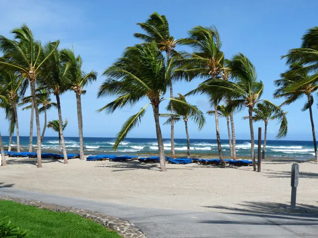
The Kohala Coast lies on the west coast of Hawaii’s Big Island. It is also called the Gold Coast, because of its sunny weather all year round, and visitors and residents alike coined the expression “sunny Kohala Coast.” The name covers more than the resorts. The coast extends from the South Kohala resort area, north of Kona, all the way up through North Kohala to the town of Hawi at the northern tip of the island.
These are the South Kohala places the map marked:
Hapuna and Mauna Kea are the two beaches we rate best on the whole island; see Kohala Coast beaches. The resorts themselves are described under Kohala Coast hotels, and the courses under Kohala Coast golf.
A few fixed points, all taken from the directions we gave elsewhere in this guide, make the coast easy to read.
Highway 19 is the coast road. The Queen Kaahumanu Highway links the resorts with one another and with Kona to the south. Driving south along it from the beaches brings you to the Kings’ Shops at Waikoloa Beach Resort. The Waikoloa heliport sits across from the resort entrance, at the junction of Highway 19 and Waikoloa Road.
Kawaihae is the harbor. Dive boats and fishing charters leave from Kawaihae Harbor, and the town has restaurants and a fish market. Pu’ukohola Heiau, the national historic site built by King Kamehameha, stands next to Spencer Beach Park, about a mile south of Kawaihae.
Highway 270 goes north. From its junction with Highway 19 the road runs up the North Kohala coast to Hawi, and beyond Hawi the road ends at the Pololu Valley lookout.
Waimea is upcountry. The ranching town, also called Kamuela, is a short drive up from the coast among the rolling hills of Parker Ranch. From Waimea, Highway 19 continues east past Honokaa and down the Hamakua Coast to Hilo, while Highway 190 heads south toward Kailua-Kona with wide views on the way. Highway 190 is also the way to Saddle Road and Mauna Kea, by way of either Waimea or Waikoloa Village.
With those four in mind, every day trip in our seven-day vacation plan falls into place.
The Kohala Coast map covered only South Kohala. For driving around the Big Island we sent readers to a full island map with information on sightseeing, geography, beaches, towns, hiking, climate and driving distances. The best printed one came from the visitors bureau, which had an office at the Kings’ Shops in Waikoloa Beach Resort. What there is to see once you leave the coast is on Big Island attractions.
Wellness on the Big Island, the Healing Island: alternative treatments at the Kohala Coast resort spas, healing guides, and fitness clubs from Kona to Honokaa.
Kohala Coast weather in numbers: about 357 sunny days a year, 7 inches of rain and 78 degrees, plus how the Big Island climate changes from Kona to Hilo.
A drive up Highway 19 from Kona through South Kohala: Waikoloa, Mauna Lani, Hapuna and Mauna Kea, the beaches, the lava fields and the road on to North Kohala.