Renting a car on the Big Island: what it teaches you about renting abroad
Waivers, deposits, forbidden roads and the walk-around: what a Kona rental teaches, and how the same questions change when you rent in the Dominican Republic.

The Big Island and the east of the Dominican Republic look alike on a postcard and feel very different through a windshield. A road-by-road comparison for people who have driven one and are thinking about the other.
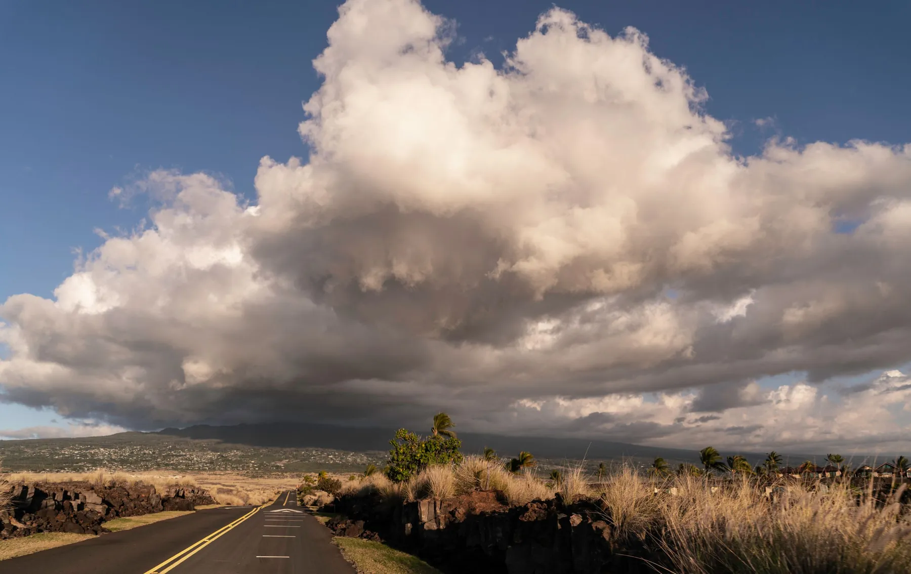
The first half hour tells you most of what you need to know.
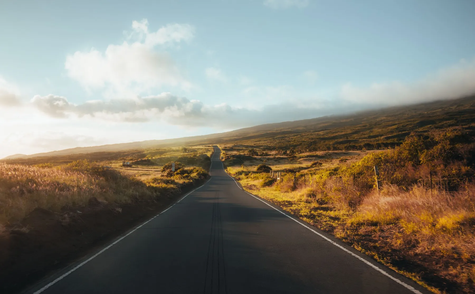
Leave Kona airport and the road sorts itself out at once. You turn left onto the Queen Ka’ahumanu Highway, which is Hawaii Route 19, and for the next twenty-odd miles there is one lane each way, a wide shoulder, black lava on both sides and almost nothing to decide. The resort turn-offs are signed well in advance. Somebody will be riding a racing bicycle on the shoulder. Nobody will honk.
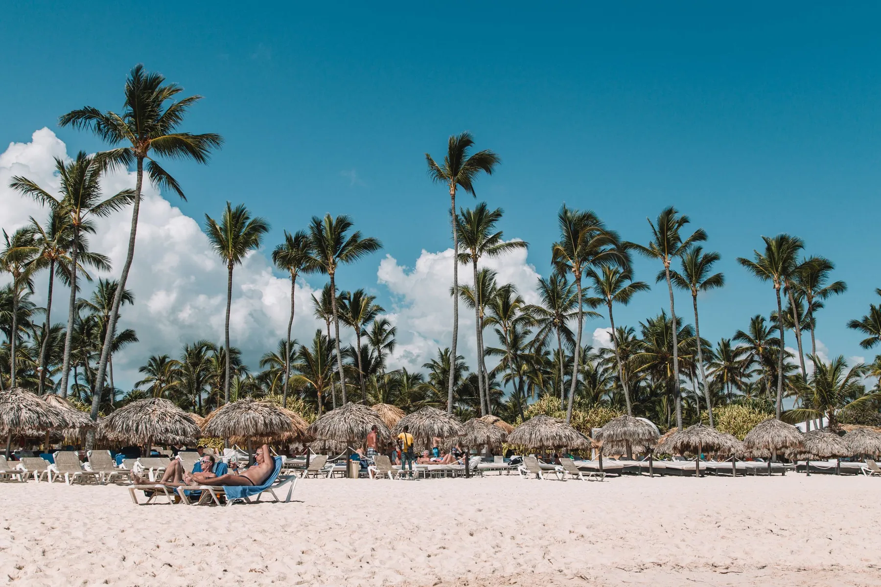
Leave Punta Cana International and the road asks more of you straight away. There is a roundabout, then a choice between the Boulevard Turistico del Este, which heads north to the Bavaro hotels and on to Macao, and the Autopista del Coral, which heads west to La Romana and the capital. Motorcycles pass on either side. A minibus stops where its passenger wants to get off. The road itself is in good shape. It simply carries more kinds of traffic than the one in Kona.
Neither drive is hard. They are just different in ways worth knowing before you sign for the keys, and this page goes through those differences one at a time.
| Big Island, Hawaii | Eastern Dominican Republic | |
|---|---|---|
| Side of the road | Right | Right |
| Speed signs | Miles per hour | Kilometres per hour |
| Sign language | English, Hawaiian place names | Spanish |
| First road from the airport | Queen Ka’ahumanu Highway (Route 19) | Boulevard Turistico del Este or Autopista del Coral |
| Tolls | None at the time of writing | Yes, on the main intercity highways |
| Fuel sold by | The gallon | The gallon, priced in pesos |
| Typical hazards | Cyclists, goats, sudden crosswinds | Motorcycles, minibuses, speed bumps, animals |
| Road lighting outside towns | Very little | Very little |
| Usual pick-up | Counter or shuttle at the airport | Meeting point at the airport, or delivery to the hotel |
One small surprise sits in that table. The Dominican Republic measures distance in kilometres and speed in kilometres per hour, but fuel is priced by the gallon, with prices set by the government week by week. An American driver ends up doing less arithmetic at the pump than on the highway.
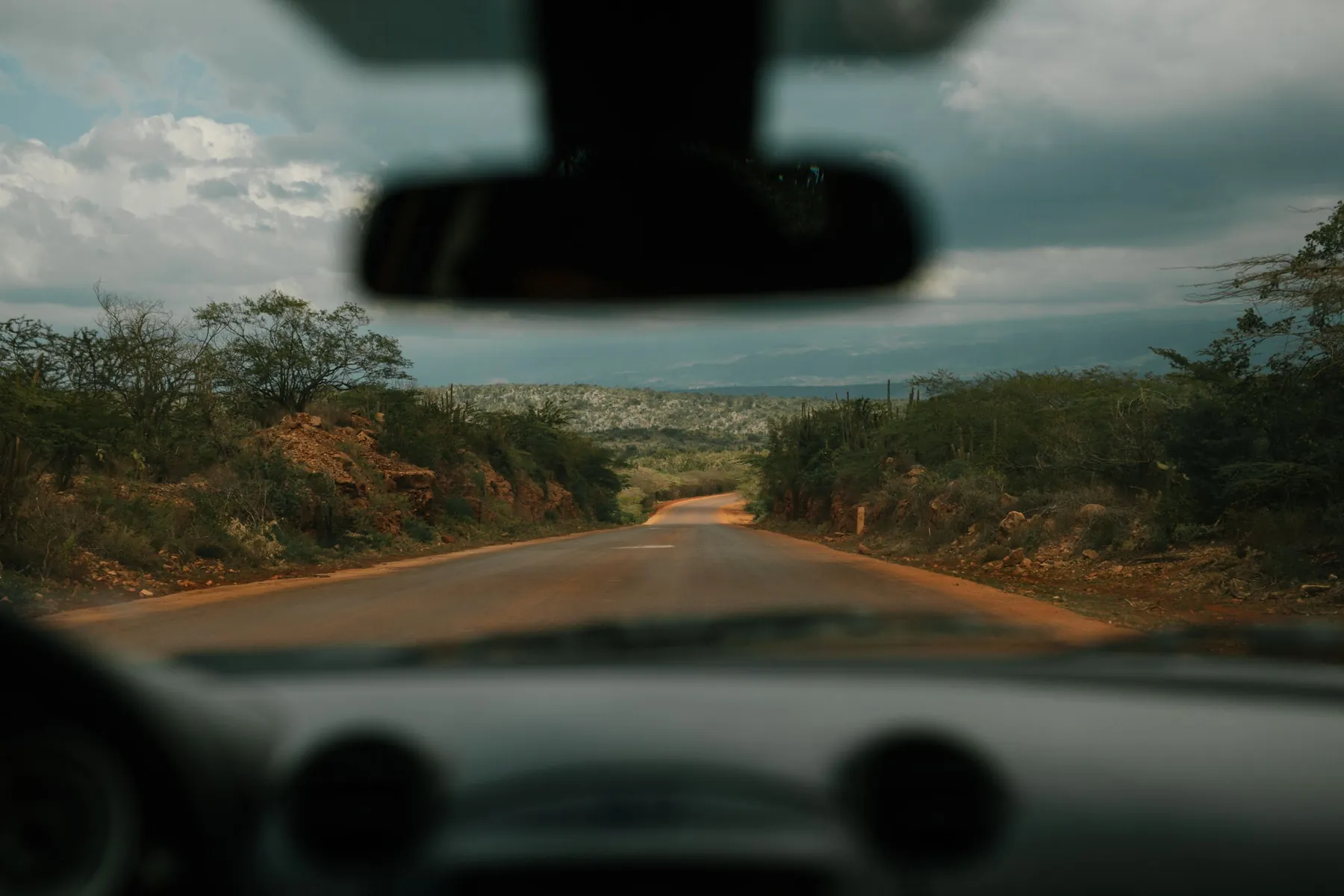
On the Kohala coast the Queen Ka’ahumanu Highway is the whole story for the first day. It runs north from Kailua-Kona past the airport to Kawaihae, roughly 27 miles from the airport to the junction where Route 270 continues up the coast toward Hawi. The state lowered the limit to 45 miles per hour on the stretch between Waikoloa Beach Drive and Kawaihae Road in 2022, and the rest is posted at 55 at most. Driving time from the airport to the Waikoloa resorts is about 25 to 30 minutes, and about half an hour to the Mauna Kea end of the coast.
Around Punta Cana the equivalent is the Boulevard Turistico del Este. It is a divided four-lane road for most of the roughly 30 kilometres from the airport toward Bavaro, then narrows to two lanes on the way to Macao, and at the time of writing the section beyond Macao toward Uvero Alto is being widened. It has more junctions and far more local traffic than the Queen K, and the roundabouts along it are where visitors feel the difference first. The rule is the ordinary one, the driver already in the circle has priority, though you should confirm with your eyes that everyone else agrees.
Picking the car up also works differently. Kona and Hilo run on the familiar airport pattern, with a counter and a shuttle. Around Punta Cana many local companies meet you at arrivals or hand the car over near the terminal, so it helps to look in advance at the range of cars you can collect at Punta Cana airport and to read the pick-up instructions before the flight, not in the arrivals hall with a suitcase in each hand.
Both islands have a fast way across and a slow way round.
On the Big Island the fast way is Saddle Road, Route 200, now officially the Daniel K. Inouye Highway. It runs a little over 50 miles between Hilo and the Mamalahoa Highway on the west side, climbing to 6,632 feet between Mauna Kea and Mauna Loa. Older guidebooks, including our own archive, treat it as a road rental contracts used to forbid. It has since been rebuilt and is the best piece of pavement on the island. Kona to Hilo takes about an hour and a half this way. The slow way, Route 19 through Waimea and down the Hamakua coast, takes around two hours without stops, and nobody drives it without stops.
In the Dominican Republic the fast way west is the Autopista del Coral. It opened in 2012, is about 70 kilometres long and connects the Punta Cana area with La Romana, where the Autovia del Este takes over toward Santo Domingo. Together they form the country’s Route 3. Before the Coral opened the trip to the capital took around four hours. It now takes a little over two when traffic behaves. These are proper divided highways with toll plazas, and they are the easiest driving a visitor will do in the country.
The Dominican slow roads are the ones that leave the toll highway: north along the coast toward Miches, or inland toward Higuey. They are worth it, and they are where the comparison with Hawaii stops being flattering to anyone in a hurry.
Hawaii has no toll roads today, although the state legislature has discussed allowing them. You can drive the Big Island for a week with nothing in your pocket but a card.
The Dominican Republic is a toll country. The Coral and the Autovia del Este both have booths, and the amounts change, so I will not print figures here. What stays true is the method. Cash in Dominican pesos is the most dependable way to pay. There is an electronic tag system called Paso Rapido, and roughly half of all toll payments in the country still happen in cash. Card acceptance at the booths is patchy. Keep small peso notes in the door pocket from the first day, and ask your rental company whether the car carries a tag.
Fuel is simple in both places. On the Big Island the thing to watch is distance between stations: there are long empty stretches, Saddle Road in particular has no fuel stations along it, and the old advice on our Big Island car rental page to fill up before you leave town still stands. In the Dominican east, stations are frequent along the main roads and thin out quickly once you leave them.
Hawaii drives slowly and politely. People wave you into a line of traffic. On the Kohala coast the things that need your attention are cyclists training on the shoulder, goats grazing at the edge of the lava, and crosswinds strong enough to move a small car near Kawaihae and Waikoloa.
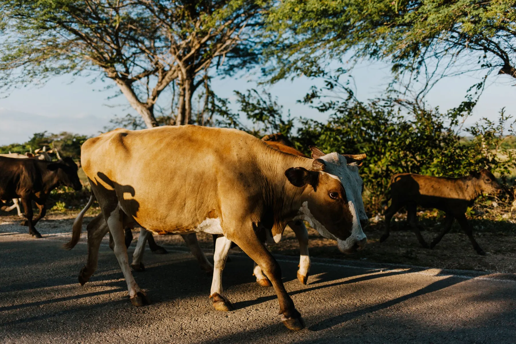
The Dominican Republic drives closer and louder. Motorcycles are the largest group on the road and include motorcycle taxis, known as motoconchos, which stop and turn without much warning. Shared minibuses pull over wherever a passenger asks. Towns announce themselves with speed bumps, some painted and some not. A horn there is usually information and not anger: a short tap means I am here, or I am passing.
None of this calls for special skill. It calls for a lower speed in towns, more space than you would leave at home, mirrors checked on both sides before any turn, and patience. Drivers who are comfortable on a busy mainland arterial road will adjust within a day.
The Kohala coast after sunset is simply dark. There is almost no lighting between the resorts, which is partly deliberate, since the island protects its night sky for the telescopes described on our Mauna Kea observatories page. Traffic is light and the road is good, so the darkness is an inconvenience and not a danger.
Rural Dominican roads at night are dark and busy at once. Motorcycles without lights, people walking on the edge of the road and loose animals are all normal, and the standard advice to visitors is to finish intercity driving before sunset. I follow it. Sunset in the Caribbean comes early in winter, so plan the day backward from it.
Off the pavement, the Big Island’s limits are well defined. The road above the Mauna Kea visitor station at 9,200 feet requires four-wheel drive, and many rental contracts rule it out regardless of vehicle. The road into Waipio Valley has been closed to visitors’ cars since 2022. In the Dominican Republic the limits are less formal. Beach tracks and unpaved village roads change with the rain, and what was passable last month may not be now. In both places the right question for the rental company is the same: which roads does this contract exclude?
Visitors can drive on a valid home licence in both places. A US licence needs nothing added in Hawaii. In the Dominican Republic a foreign licence is accepted for a limited tourist stay, and rental companies there will normally want to see your passport next to it.
Insurance is where the two systems diverge most. In Hawaii an American visitor is on home legal ground, and the question is mostly whether your own policy or card benefit already covers a rental. In the Dominican Republic you are a foreign driver, the compulsory local third-party cover has low limits, and the collision waiver sold with the car comes with a deductible and a security deposit that you should understand before you accept it. Read the cover levels in advance and decide at home.
The handover itself is often easier in the Dominican Republic than visitors expect. Companies offering car rental with delivery around Punta Cana will bring the vehicle to a hotel in Punta Cana or Bavaro, which means you can rest for a day or two and start driving when you are ready, much as our Kohala Coast vacation plan recommends keeping arrival day free. A delivered car puts the inspection in your hands: photograph every panel, check the spare, note the fuel level and agree on the return before the driver leaves.
If you have never driven outside the mainland, the Big Island is the gentler start. It gives you distance, weather and remote roads with familiar rules.
If you have driven the Big Island for a week and enjoyed it, you already have what the Dominican Republic asks for. You plan in hours and not miles, you carry water, you turn round when a road looks wrong and you are home before dark. Add cash for tolls, a dozen words of road Spanish and an extra car length of patience in town, and the second island will feel less foreign than you expect by the third morning.
Yes. Both drive on the right with the steering wheel on the left. The differences are in the units and the language: Hawaii posts speed limits in miles per hour and signs in English, while the Dominican Republic posts kilometres per hour and signs in Spanish.
The Big Island has no toll roads at the time of writing. In the Dominican Republic the main highways between Punta Cana, La Romana and Santo Domingo are tolled. Cash in Dominican pesos is the most dependable way to pay at the booths, and an electronic tag called Paso Rapido also exists.
The Autopista del Coral, a toll highway of about 70 kilometres that opened in 2012 and runs west from the Punta Cana area to La Romana. From there the Autovia del Este continues to Santo Domingo. Locally, the Boulevard Turistico del Este links the airport with Bavaro and Macao.
On the Big Island, Kona to Hilo is about an hour and a half over Saddle Road, or around two hours by the northern coast route. In the Dominican Republic, Punta Cana to Santo Domingo takes a little over two hours on the toll highways when traffic is normal.
The Kohala coast at night is dark and quiet, with long unlit stretches between resorts. Rural Dominican roads at night add unlit motorcycles, pedestrians and animals. In both places the sensible habit is to do long or unfamiliar drives in daylight.
A valid licence from home is accepted for visitors in both places. In the Dominican Republic the allowance applies to a limited tourist stay, and rental companies there usually ask for your passport as well. If your licence is not in the Latin alphabet, carry an international driving permit too.
Waivers, deposits, forbidden roads and the walk-around: what a Kona rental teaches, and how the same questions change when you rent in the Dominican Republic.
A working method for island driving holidays: one base, day trips timed in hours, floating weather days. Tested on the Big Island and applied to the Dominican east.
A dry lava coast facing west and a long palm shore facing east. Seasons, beach access, parking, seaweed and day trips on the Kohala coast and around Punta Cana.