A beach week, two coasts: Kohala and Punta Cana side by side
A dry lava coast facing west and a long palm shore facing east. Seasons, beach access, parking, seaweed and day trips on the Kohala coast and around Punta Cana.

Ninety miles is a commute on the mainland and a full day on an island. Here is the planning method this guide has used for the Big Island since its early years, with real drive times, and a test of it on a very different island.
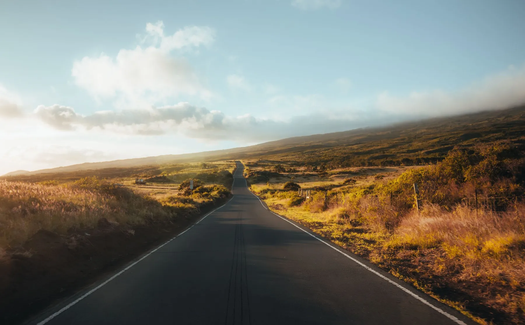
Ninety miles. That is the distance the National Park Service gives from Waikoloa to the entrance of Hawaii Volcanoes National Park, and it is the number that ruins more Big Island holidays than rain does. On the mainland ninety miles is an hour and a quarter and a podcast. Here it is two hours each way on a road that climbs to 6,632 feet, plus a park that deserves most of a day, plus the drive home in the dark.
People see the number, decide the island is small, and book four hotels in six nights. This page is the argument against doing that, and a method to use in its place.
Pick one base. List the day trips you can make from it and write the driving time next to each, in hours. Decide which of those days can trade places if the weather turns. Put a slow day after every long one. Finish unfamiliar roads before dark. That is all of it. The site’s archived Kohala Coast vacation plan said the same thing in seven days and several thousand words many years ago, and I have never found a reason to disagree with it.
The rest of this page shows the method working: first on the island it was written for, then on one where the signs are in Spanish.
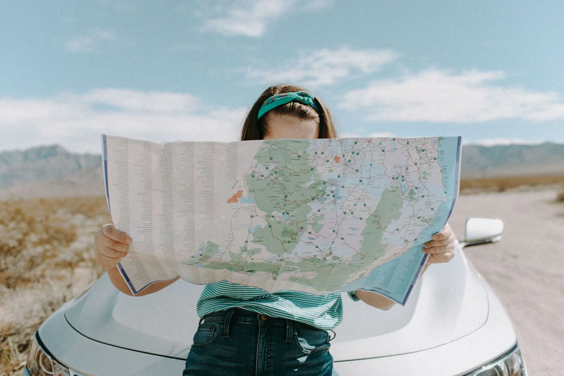
A through-trip across a continent rewards a new bed every night, because you are always going forward. An island does not work that way. You are always coming back. So the best place to sleep is one that is close to water, roughly central to what you want to see, and has more than one road leaving it.
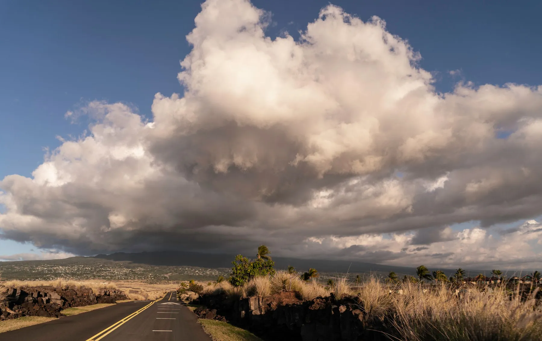
The Kohala coast passes that test well. It sits about halfway up the west side. The coast highway runs south to Kona and north to Hawi. A second road climbs inland to Waimea, and from Waimea you can continue to the Hamakua coast or pick up the route to Saddle Road and cross the island. Open the Kohala Coast map and you will see it at once: resorts strung along one highway, with the inland branch that makes them a base and not a dead end.
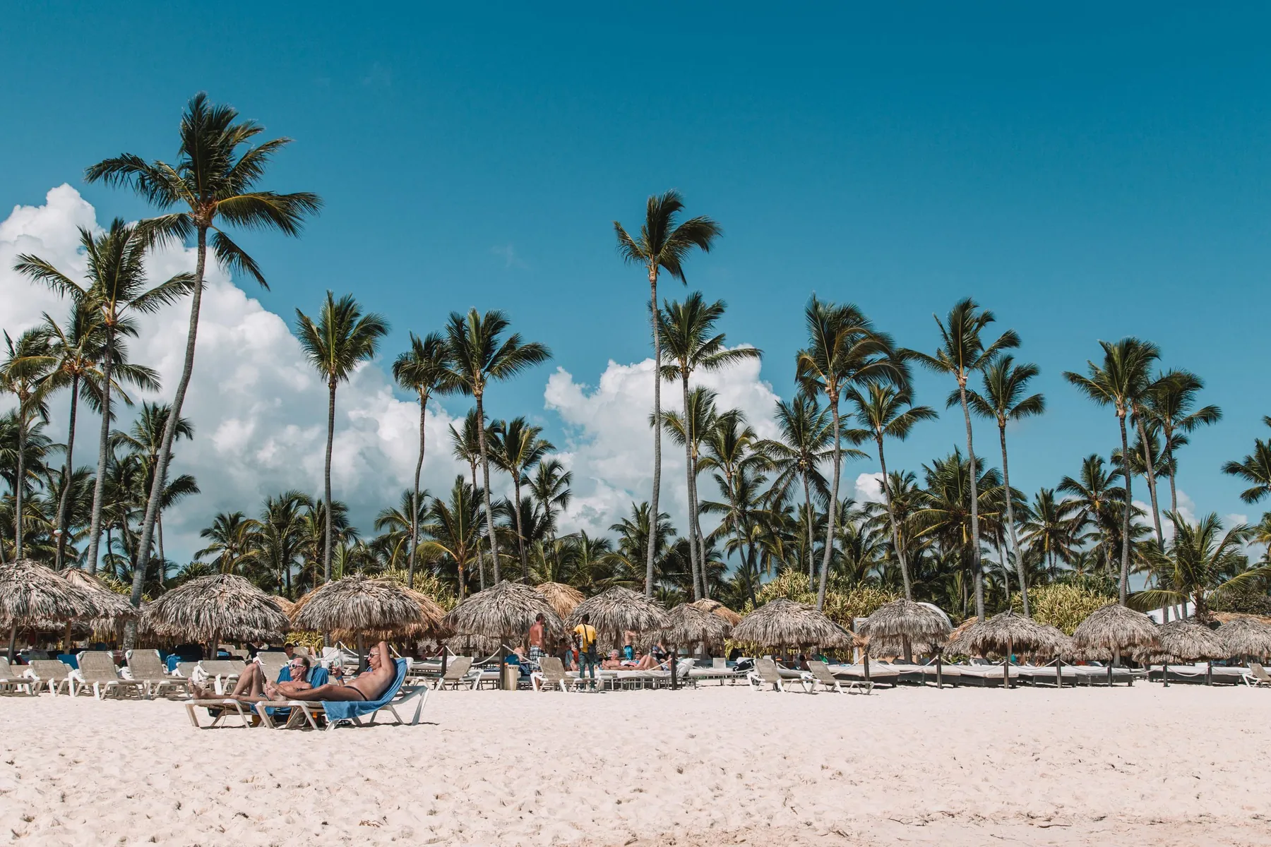
Run the same test anywhere. On the east coast of the Dominican Republic the hotel area around Punta Cana and Bavaro passes too: the airport is minutes away, a boulevard runs north along the coast, and a toll highway runs west toward La Romana and Santo Domingo. It is no accident that an online route planner for a Dominican road trip opens with the same questions before it lets you choose a single destination: where you start, how many days you have, and whether you intend to stay in one place and return each evening, move along and sleep somewhere new, or loop back at the end. Those are the right first questions on any island, and most people skip them.
Here is the Kohala list with honest one-way times from the Waikoloa area. They are rounded, they assume normal traffic, and you should check your own start point on a map app.
| Day trip from the Kohala coast | Route | One way, about |
|---|---|---|
| Waimea | Inland road from Kawaihae or Waikoloa | Half an hour |
| Kailua-Kona | Queen Ka’ahumanu Highway (Route 19) south | 45 minutes |
| Hawi and the Pololu lookout | Route 270, the Akoni Pule Highway | An hour |
| Mauna Kea visitor station, 9,200 feet | Saddle Road, then the access road | Well over an hour |
| Hilo | Saddle Road (Route 200) | An hour and a half |
| Hilo by the Hamakua coast | Route 19 through Waimea and Honokaa | Two hours without stops |
| Hawaii Volcanoes National Park | Saddle Road, then Route 11 | Two hours |
Now apply one rule: driving should take no more than half the daylight. A two-hour trip each way is four hours at the wheel, which is already close to that limit on a short winter day. What is left is enough for the volcano park if you leave early, and it is not enough for the volcano park plus Hilo plus the waterfalls on the way back. The park is the one place where the old plan suggests breaking the single-base rule and sleeping nearby, and our Hawaii Volcanoes National Park page explains why an evening there is worth having.
The Hamakua line in the table is the trap. Two hours without stops is true and irrelevant, because that road passes the Waipio Valley lookout, Honokaa, Laupahoehoe and Akaka Falls. Nobody has ever driven it in two hours on purpose. Count it as a day of its own, or as the slow half of a loop: out along the coast, home over the Saddle.
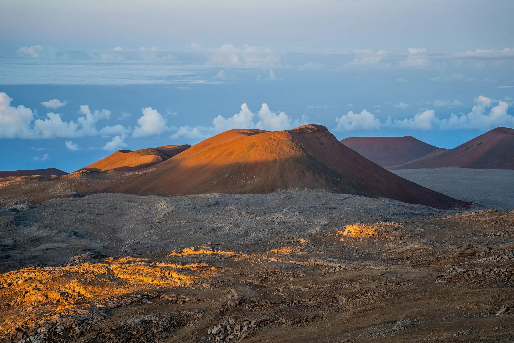
The old seven-day plan contains one sentence that is worth more than the rest put together. Day three and day four, it says, are interchangeable, depending on the weather.
Islands with mountains have a wet side and a dry side. On the Big Island the trade winds bring rain to Hilo and the Hamakua coast and leave Kohala dry, and the summit of Mauna Kea runs on a schedule of its own. A plan that fixes the volcano for Tuesday will send you there in cloud as often as not. A plan that says Tuesday or Wednesday, whichever is clearer in the east, will not.
So sort your list into two piles. The first pile is anything with a booking attached: a boat, a tour, a dinner. Fix those. The second pile is everything else, and it floats. Look at the forecast the evening before and decide then.
Lay the old plan out in a row and a pattern appears: rest, north, long day east, beach, south, mountain, rest. Never two long drives back to back.
That adds up to three or four real driving days in a week, and people planning from home always think it is too few. It is not. The soft days are when you use the place you are paying to sleep in. They are also the slack in the system: when a floating day has to move, it moves into a soft day, and nothing else breaks.
Every long day has a stretch you have never driven before. Arrange the day so that stretch happens in daylight, in both directions if you can.
On the Big Island this mostly concerns the way home from the volcano or from Hilo. Saddle Road is modern and fast, but it is high, often foggy near the top, has no fuel stations and very little lighting. Driving it for the first time at night, tired, is the least pleasant two hours of many holidays. Leave the park earlier than you want to, or stay over.
A method is only worth keeping if it survives a change of scenery, so here is the same exercise for the eastern Dominican Republic, from a base in the Punta Cana and Bavaro hotel area.
| Day trip from Punta Cana or Bavaro | Route | One way, about |
|---|---|---|
| Macao beach | Boulevard Turistico del Este north | A short drive |
| Cap Cana | South past the airport | A short drive |
| Bayahibe, for the Saona boats | Autopista del Coral, then south | An hour |
| La Romana and Altos de Chavon | Autopista del Coral west | Up to an hour |
| Santo Domingo, the colonial city | Autopista del Coral and Autovia del Este | A little over two hours |
The shape is familiar. There are two short outings, two medium ones, and one long day that plays the part the volcano plays on the Big Island. Santo Domingo is the trip to think hardest about. Two hours and more each way on toll highways is comfortable driving, but the old city deserves a full day on foot, and the standard advice in the Dominican Republic is to be off intercity roads before dark. That is an early start and a firm departure time, or a night in the capital.
The local adjustments are small and specific:
Everything else carries over unchanged. One base, times written down, two days that can swap, a slow day after Santo Domingo, home before sunset.
The old plan told visitors to take food, water and swim gear to Pololu, and flashlights, warm clothes and good shoes to the volcano. That list has not aged.
On an island there is often a long way between shops, and what you forgot stays forgotten until evening. Keep a permanent kit in the trunk for the whole week: water, snacks, towels, reef-safe sunscreen, a light rain jacket, a warm layer for anything above a few thousand feet, a phone cable and a paper map or offline map for the places with no signal. Fill the tank before the empty stretches and not during them.
Copy this out before you book anything.
Eight lines. The old page needed seven days to say it, and it was right. The phone numbers on that page stopped working long ago. The method still does.
On a first visit of a week or so, usually not. One base removes repeated packing and check-ins and lets you swap days when the weather turns. The Big Island exception is Hawaii Volcanoes National Park, which is about two hours from the Kohala coast and repays an overnight stay nearby.
Three, or four at most. Put an easy day after each long one, keep arrival day and departure day free, and leave two days able to swap with each other so that the weather decides which side of the island you see.
The National Park Service gives about 90 miles and two hours from Waikoloa by way of Saddle Road, Highway 200. Allow more if you go one way along the Hamakua coast, which is slower and has more reasons to stop.
Island distances look short on paper and drive long. Roads bend, climb and pass through towns, speed limits are low, and the places worth stopping at are the point of the trip. A useful rule is that driving should take no more than half of the daylight.
Yes, with local adjustments. Choose a base near the Punta Cana and Bavaro hotels or near Bayahibe, treat Santo Domingo as the one long day, carry pesos for the toll highways and finish intercity driving before sunset. The dry season from December to April is the easiest time for it.
Water, something to eat, a paper or offline map, a phone charger, sun protection and a warm layer if any part of the day goes uphill. On the Big Island fill the tank before Saddle Road, which has no fuel stations. In the Dominican Republic add small peso notes for tolls.
A dry lava coast facing west and a long palm shore facing east. Seasons, beach access, parking, seaweed and day trips on the Kohala coast and around Punta Cana.
Compact for the Queen K, 4WD for Mauna Kea: how the Big Island way of choosing a rental class translates to Bavaro, Macao and Uvero Alto, class by class.
Both drive on the right and both reward a rental car. Roads, tolls, signs, night driving and car pick-up on the Big Island and around Punta Cana, side by side.