The Kohala Coast: South Kohala on the West Side of the Big Island
A drive up Highway 19 from Kona through South Kohala: Waikoloa, Mauna Lani, Hapuna and Mauna Kea, the beaches, the lava fields and the road on to North Kohala.

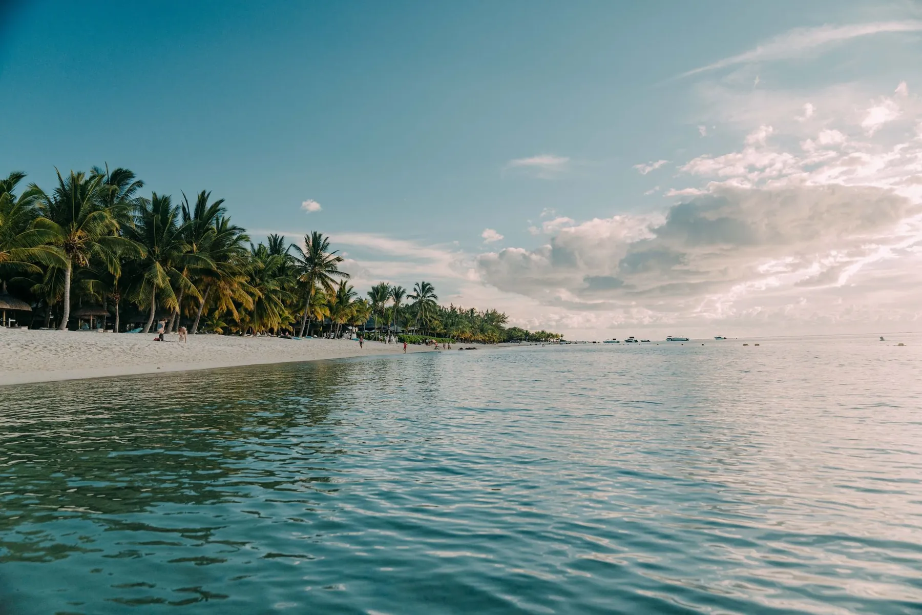
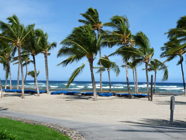
The Kohala Coast is the driest, sunniest stretch of the Big Island, with sunshine on roughly 357 days of the year. Drive an hour in almost any direction, though, and you can find yourself in a different climate.
Kohala Coast weather is the classic tropical climate, and about as reliable as weather gets. The figures our guide quoted:
With numbers like those, it is not hard to understand why visitors come from around the world. Puako, the oceanfront village beside Hapuna Beach, gets less than 11 inches of rain per year. Hapuna itself has sun and warm temperatures on almost 360 days.
The guide took its readings from the weather station in Waikoloa Village, which it judged the most accurate reference for conditions along the Kohala Coast.
Nearly, and that is the honest answer. Kona and the Kohala Coast lie on the west side of the Big Island, the sunny side. That dependable sun is the reason this coast has the sand beaches set among old lava flows, the golf courses and the resort hotels.
Nearly is not always. Even the generally perfect Hawaii weather can be affected by high winds or flash floods. Periods of high surf can bring dangerous rip tides to the open beaches, even on a day that looks flawless from the parking lot. Check conditions, not just the sky.
Drive around the Big Island and you will pass through wide variations in temperature, elevation and climate. Annual rainfall varies from 6 inches to 150 inches depending on where you are standing. Weather can change dramatically within a few miles.
A few rules hold:
Because conditions differ so much by location and elevation, look at more than one forecast before a day out. Heading south to Kailua-Kona, check Kona. Heading across to Hilo on the east coast, or to Hawaii Volcanoes National Park, check Hilo. For the dry Kona side and the wetter Hilo side the forecasts can read like reports from two different islands on the same morning.
The same applies to the valley hikes described on the hiking page. Waipio lies on the windward side of the Kohala Mountains, where conditions can be quite different from those at the resorts. A trip up Mauna Kea depends entirely on summit conditions.
On the coast itself, plan less and worry less. Bring sunscreen and a hat, drink water, and expect tomorrow to look much like today. For where to spend all that sunshine, see the beaches page, and for placing the towns and coasts mentioned here, the Big Island and Kohala Coast map.
A drive up Highway 19 from Kona through South Kohala: Waikoloa, Mauna Lani, Hapuna and Mauna Kea, the beaches, the lava fields and the road on to North Kohala.
Where the Kohala Coast is, the best beaches, weather, when to visit, where to stay, snorkeling, luaus, transport and more, answered by our Big Island guide.
Things to do on the Kohala Coast and Big Island: snorkeling, diving, fishing, manta rays, whale watching, fish ponds, helicopter flights, stargazing and more.